
Drone photographyfor Sydney listings
Show the property, land and location in one frame.Planned around the campaign and safe flying conditions.
Built for Sydney listings where location and land are part of the value.
Show buyers what ground photography cannot
Openframe Studio provides drone photography for Sydney real estate campaigns where the block, outlook, coastline, nearby amenities or wider setting help explain the property.
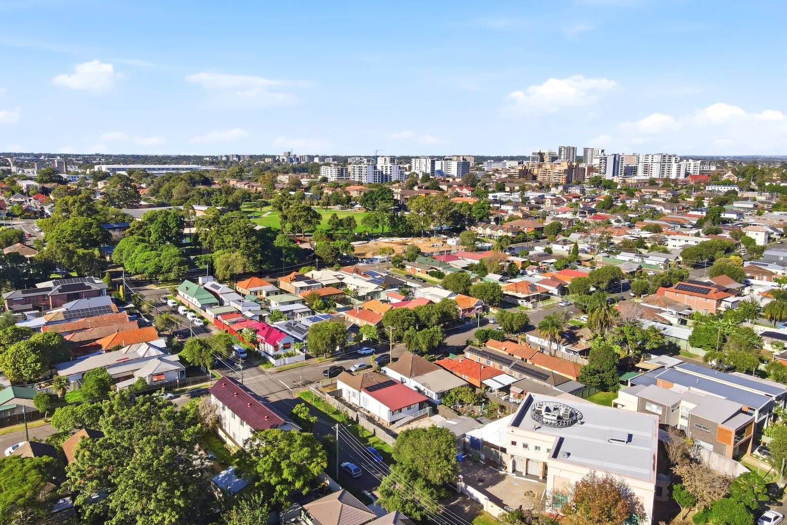
Useful aerial shots of property, land and nearby features still keep the listing as the subject. Location and area photography is planned at purposeful heights and angles rather than relying on generic top-down shots, then matched to the colour and finish of the ground campaign.
Every location is assessed before flight. Airspace, weather, safe launch access, surrounding people and privacy can affect what is possible on the day.
Plan Aerial CoverageProperty angles
Closer aerial views that keep the home, building or development site clearly identifiable.
Land and scale
Coverage that helps buyers understand larger blocks, acreage, access and site relationships.
Location context
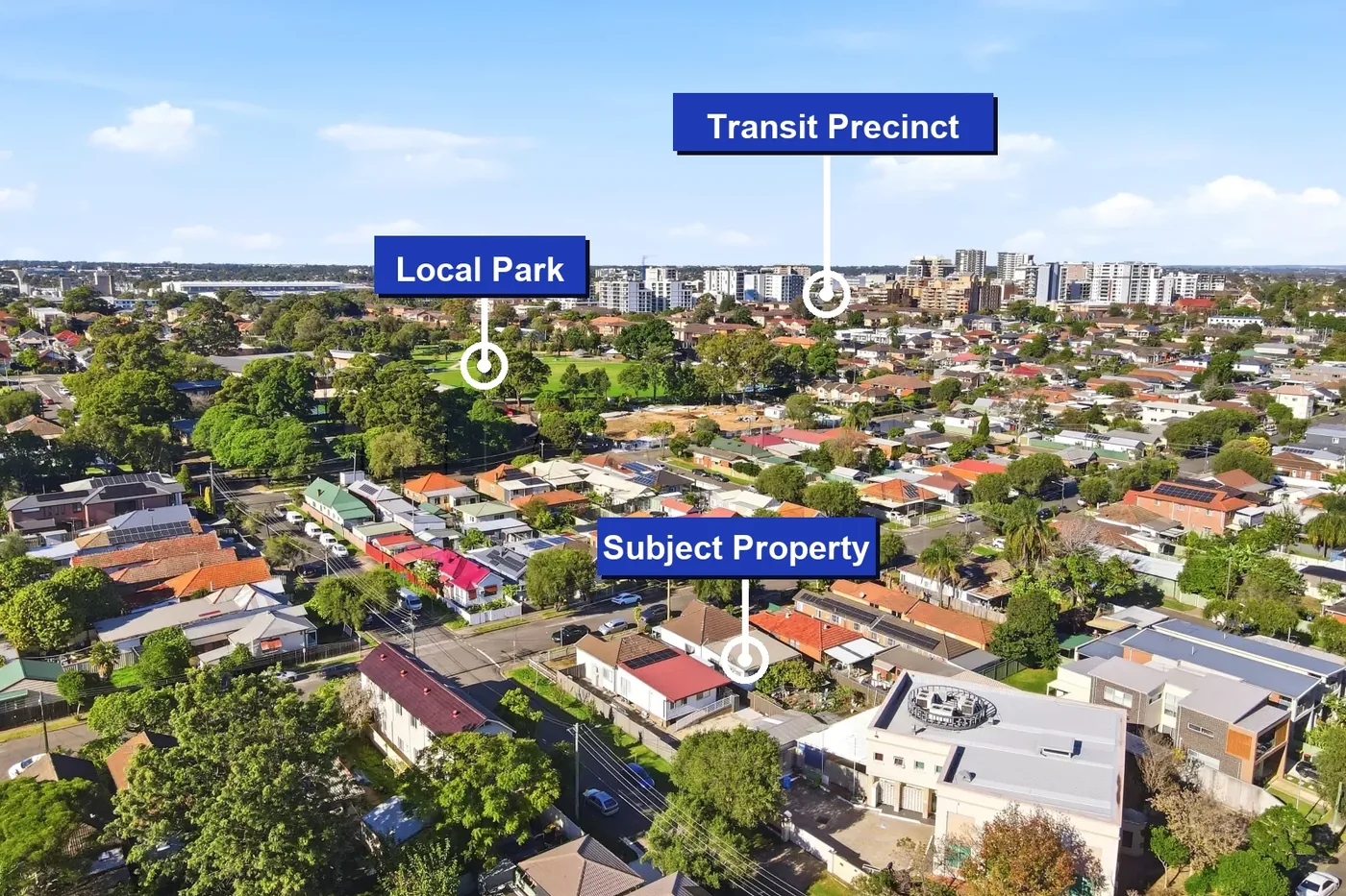
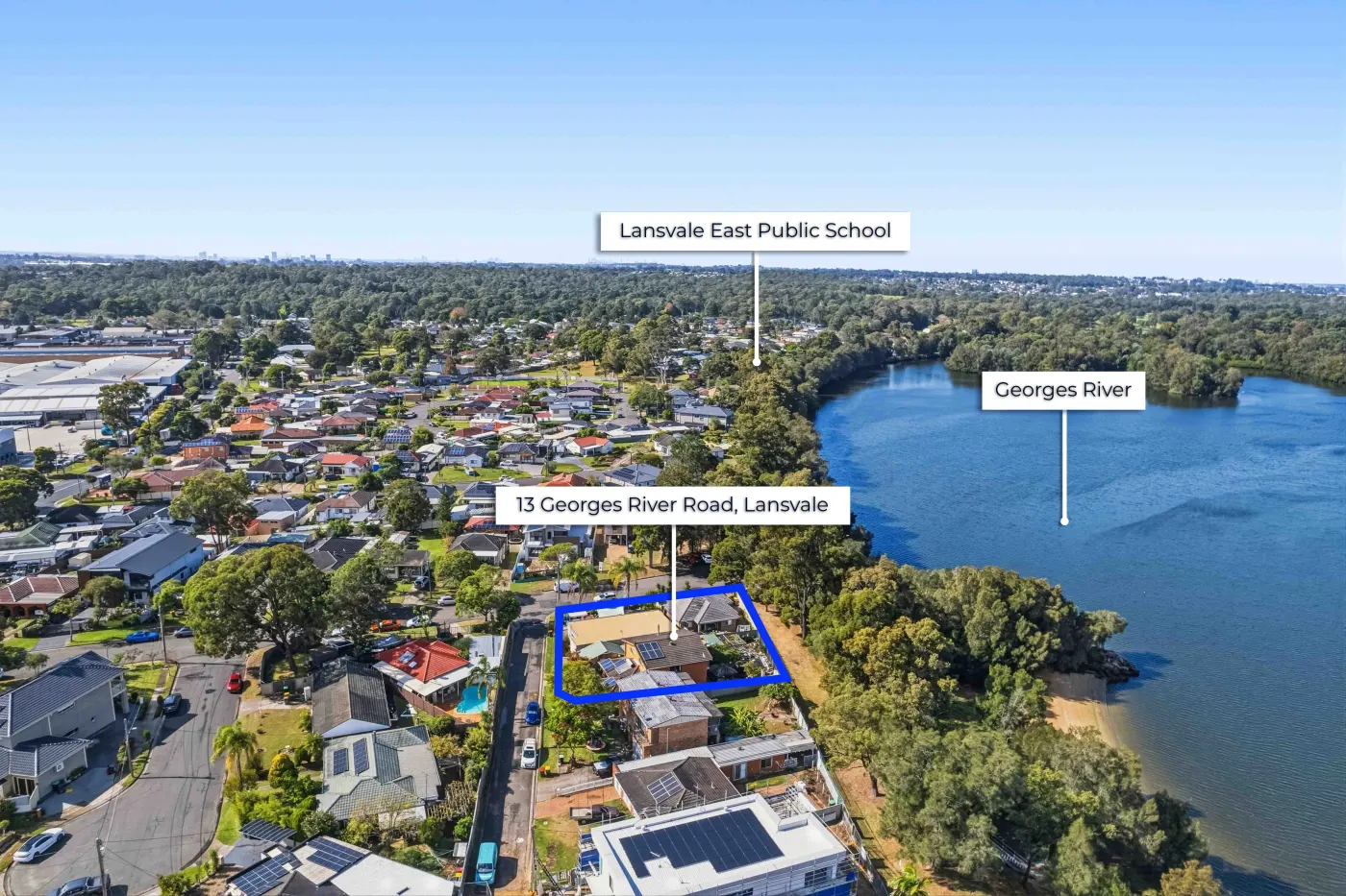
Wider views that show water, parks, transport, centres and the surrounding neighbourhood.
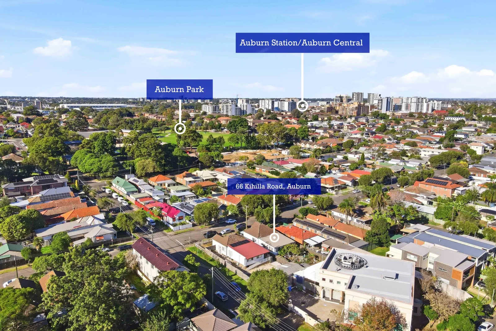
Callout overlays
Optional labels and direction lines that make relevant landmarks easy to understand.
Aerial imagery built around the property story
Plan the useful aerial shots before launch day
Drone coverage quoted to the property and location
Pricing depends on the address, required coverage, campaign timing and whether location callouts or aerial video are needed. Drone can be added to a photography package when the site and conditions are suitable.
Drone photography guides for Sydney listings
Drone photography questions
Can every Sydney property be photographed by drone?
No. Every address is checked for airspace, access, weather, privacy and safe operating conditions. Some locations may need a different approach or may not be suitable for a flight.
What does a property drone shoot include?
Coverage is planned around the campaign and can include closer property angles, wider location context, land or boundary views and images suitable for location callout overlays.
Can drone photography be added to a standard property shoot?
Yes, when the location and conditions are suitable. Combining ground photography and aerial coverage keeps the property itself clear while also showing its position and surroundings.
Do you provide location callout overlays?
Yes. Callout overlays can label nearby transport, schools, parks, shops, water and other useful landmarks on selected aerial images.