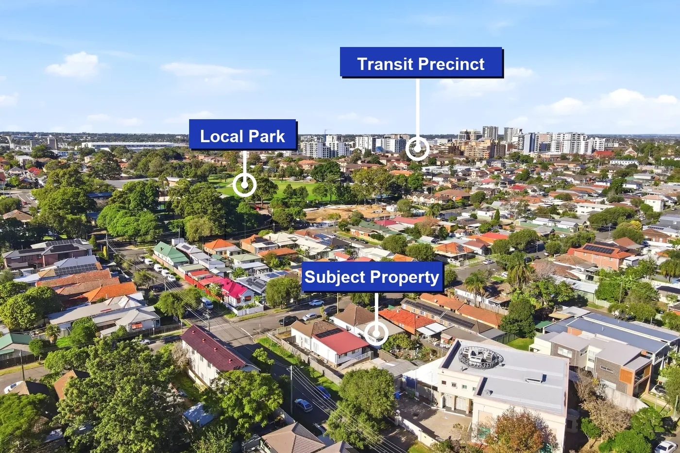
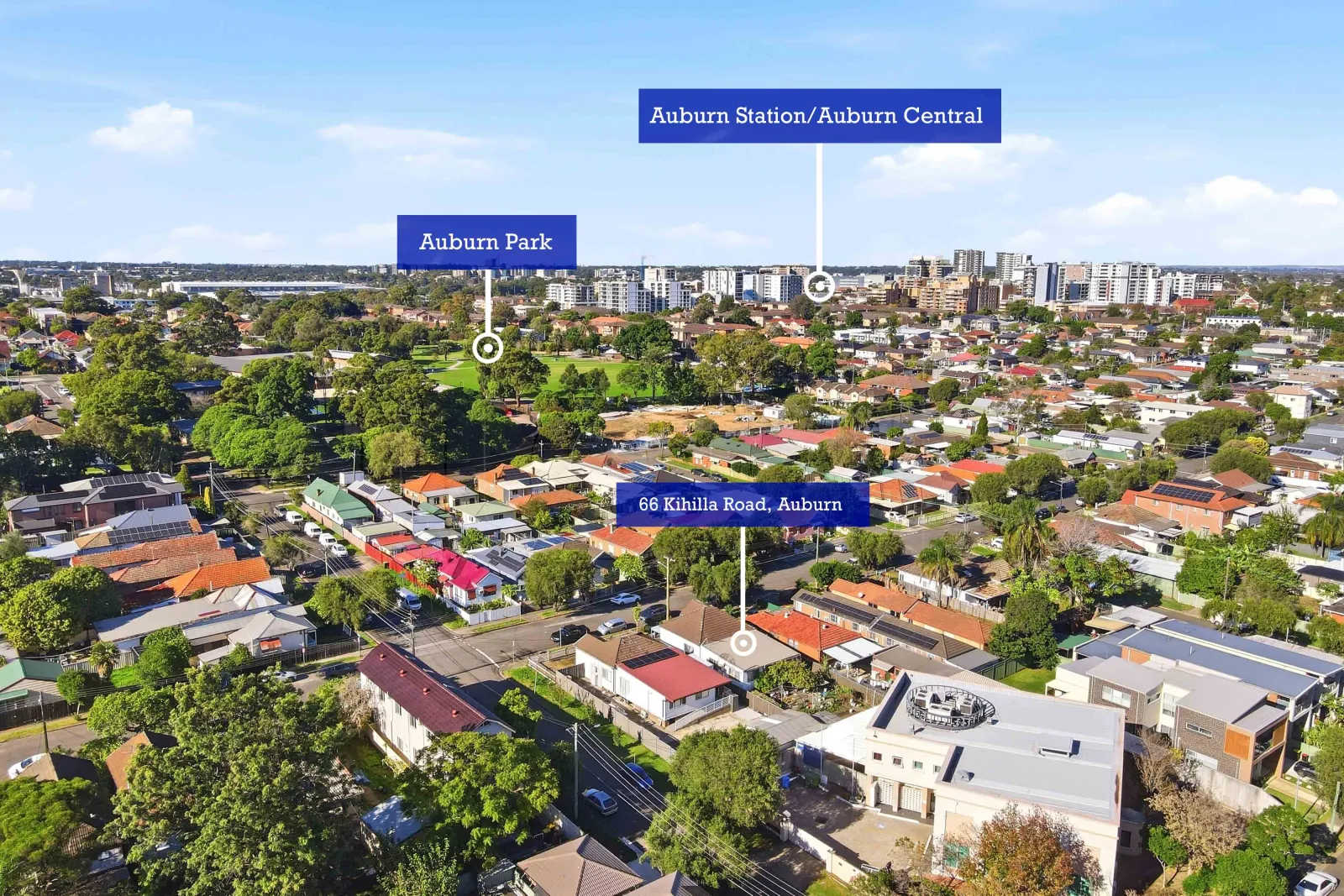
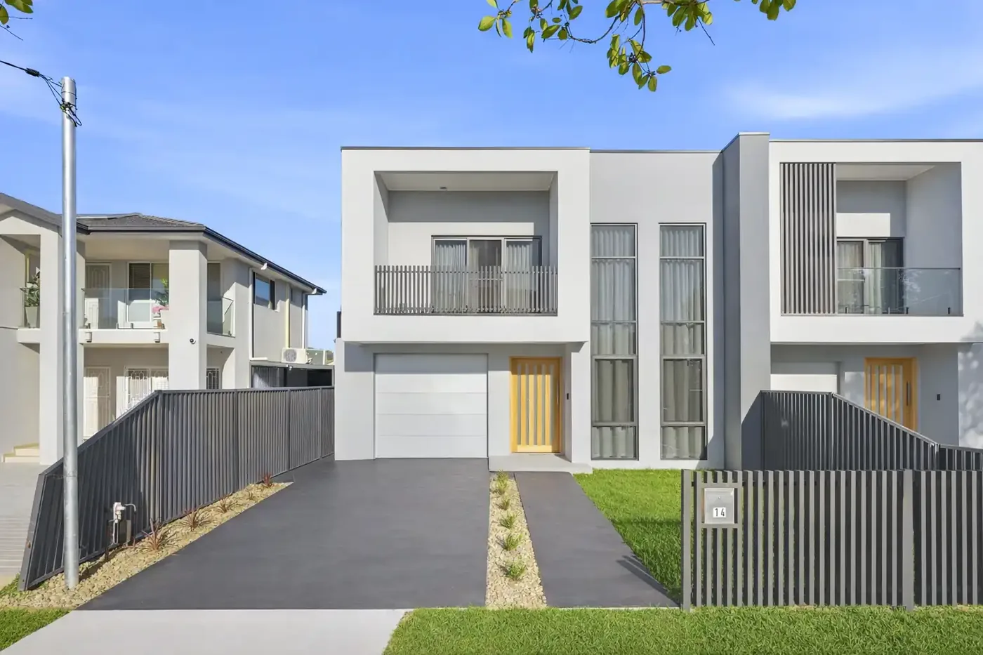
Drone photography has become increasingly common in real estate marketing and in a city like Sydney, where so many properties have incredible surrounding context harbour views, coastal outlooks, lush bushland, or proximity to parks and lifestyle amenities, aerial imagery can genuinely add value to a listing.
But drone photography isn't right for every property. It comes at an additional cost, requires CASA-licensed operators, and adds another layer of logistics to a shoot. So when does it actually make sense?
When Drone Photography Adds Real Value
Use drone photography when the property's context is part of its appeal. This includes:
- Properties with water views or proximity to Sydney Harbour, the ocean, rivers, or lakes aerial shots make the distance to water immediately clear.
- Large land parcels or acreage where the full extent of the property isn't visible from ground level.
- Homes in leafy suburban settings where the surrounding tree canopy and neighbourhood character are selling points.
- Properties near parks, golf courses, or major lifestyle amenities drone shots establish proximity better than any map.
- Corner blocks or dual-occupancy sites where showing the full footprint from above communicates opportunity to developers and buyers.
- New developments or house-and-land packages where the estate's layout, stage, and surroundings are part of the pitch.
When Drone Photography Might Not Be Worth It
Not every property benefits from aerial photography. Consider skipping it when:
- The property is a standard apartment in a dense urban block there's often little to gain from showing one unit among dozens.
- The surrounding streetscape or neighbourhood isn't a selling point.
- The property is in an area with CASA flight restrictions near Sydney Airport, hospital helipad zones, or certain CBD areas. A licensed drone operator will know these restrictions.
- Budget is tight and the property is expected to move quickly on its own merits.
What Makes a Good Aerial Shot?
The best drone photography for real estate goes beyond simply hovering above a property. Look for a photographer who can:
- Capture the property in context showing its relationship to nearby streets, parks, or water.
- Compose shots with clear leading lines and a sense of depth.
- Time the shoot for good light drone shots in flat midday light can look flat and uninspiring.
- Deliver both wide establishing shots and closer angles that highlight specific features.
Raw aerial footage without skilled composition often ends up looking like a real estate satellite map. A skilled operator turns it into something that genuinely sells.
Regulations in Sydney
All commercial drone operations in Australia must be conducted by a CASA-certified Remote Pilot Licence (RePL) holder. When booking drone photography in Sydney, always confirm:
- The operator holds a current RePL.
- The company has appropriate aviation insurance.
- The shoot location has been checked against CASA airspace restrictions (available via the OpenSky or Airshare apps).
Responsible drone operators will handle all of this but it's worth asking the question, particularly if you're in a suburb close to airports or flight paths.
Combining Drone with Ground Photography
For most properties where drone photography is worthwhile, the best approach is to combine it with a standard ground-level shoot. One or two strong aerial shots used as secondary images in a listing — or as the header of a campaign brochure can significantly lift the overall marketing package without dominating the listing.
See Openframe Studio's drone photography service for Sydney listings to plan aerial imagery around your location and campaign goals.