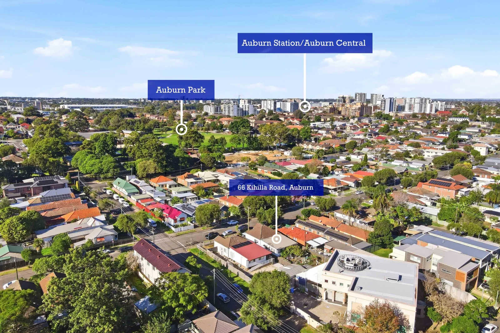
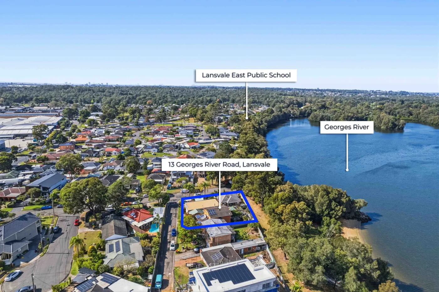
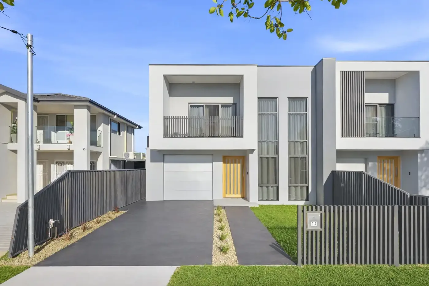
Greater Sydney is a city of remarkable geographic diversity from the coastal edge of the Eastern Suburbs and Northern Beaches, to the river corridors of the Parramatta and Georges River, to the foothills of the Blue Mountains to the west and the national parks to the north and south. In this context, drone photography isn't just a visual upgrade - it can be a genuine strategic marketing tool that communicates things about a property's position and context that ground-level photography simply cannot.
Here's a guide to drone photography across Greater Sydney's distinct market areas.
Why Greater Sydney Is Well-Suited to Drone Photography
Few cities in the world offer the variety of geographic contexts that Greater Sydney does within a single metropolitan area. Coastal cliffs, harbour inlets, bushland ridgelines, river flats, dense urban centres, and sprawling suburban estates all coexist within 60 kilometres of the CBD. For properties where any of these contexts are relevant to the property's value, aerial photography can be transformative.
The common thread across all these contexts: drone photography earns its investment when the surroundings are as much a selling point as the property itself.
Coastal and Northern Beaches Properties
Properties in the Northern Beaches from Manly to Palm Beach represent one of the strongest use cases for drone photography in Greater Sydney. The relationship between a home and the coast is almost impossible to communicate from ground level. An aerial shot that shows a property positioned between the ocean beach and the lagoon, or perched on a headland above a surf break, communicates value and lifestyle in an instant.
- Coastal aerial shots are best captured in the morning when the sun is behind the camera and the ocean colours are at their most vivid.
- Include the beach or water body in frame the proximity relationship is the point of the image.
- For beachside properties, a low altitude pass that shows the dune system, access paths, and the ocean beyond can be more evocative than a high straight-down shot.
Harbour and Waterfront Properties
Properties along Sydney Harbour, the Parramatta River, Lane Cove River, and Georges River benefit enormously from aerial photography. Harbour-adjacent or water-view properties in suburbs like Balmain, Hunters Hill, Gladesville, Caringbah, and Cronulla can appear in photos as ordinary suburban homes until a drone shot reveals their actual relationship to the water.
- Drone shots for harbour properties are particularly powerful at twilight the blue water, the glowing bridge, and the illuminated city skyline create a hero image that no ground-level photo can match.
- Check CASA flight restrictions carefully for harbour-area shoots the proximity of Sydney Airport and Bankstown Airport creates significant flight exclusion zones across parts of the metropolitan area.
Western Sydney: Acreage, Estates, and Development Sites
In Western Sydney across the Hills District, Camden, the Hawkesbury, and the South-West Growth Corridor drone photography serves a different purpose. Here, the story is often about land: the extent of a rural property, the position of a house on a large block, the access to a development site, or the relationship between an estate and surrounding infrastructure.
- For acreage properties, a drone shot that shows the full extent of the land, the home's position on the block, and any improvements such as fencing, dams, sheds gives buyers context that is genuinely impossible to achieve on the ground.
- For development sites, an aerial shot that shows the site in relation to proposed infrastructure, neighbouring developments, and transport corridors is often central to the marketing strategy.
- The Hills District and Camden areas have fewer airspace restrictions than coastal or harbour areas, making drone photography logistically simpler to execute.
Regulations and CASA Compliance Across Greater Sydney
CASA airspace restrictions vary significantly across Greater Sydney. Areas near major airports (Sydney, Bankstown, Richmond, Camden) have specific exclusion and controlled airspace zones. Certain national park areas and urban centres also have additional restrictions.
All commercial drone operators working in Sydney must hold a current CASA Remote Pilot Licence and appropriate aviation insurance. When booking drone photography for any Greater Sydney property, confirm that your operator holds the required credentials and has checked the airspace for your specific location before the shoot day.
Choosing the Right Altitude and Coverage
Not all drone shots are created equal. The most useful aerial real estate images tend to be captured at moderate altitudes high enough to establish context and show the surrounding area, but low enough that the property itself is clearly identifiable and detailed. Very high altitude shots that reduce a property to a dot among many are rarely useful for listing purposes.
A typical drone shoot for a residential listing might include two to four images at different altitudes and angles: one establishing shot showing the property in its suburb context, one closer shot showing the property and immediate surroundings, and one directional shot that captures a specific feature the proximity to water, a park, or a significant view.
Explore Openframe Studio's drone photography for Sydney property listings, including aerial stills, location context and optional callout overlays.